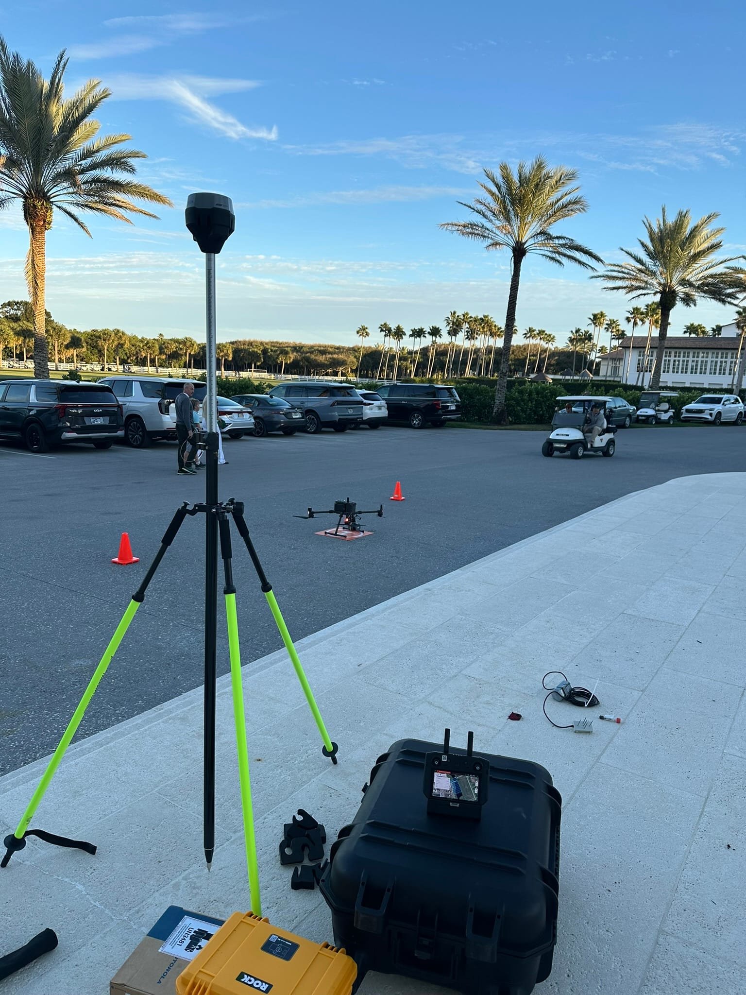
Service
Precise field layout of all design elements so your contractors build in the right place, at the right elevation, the first time. We translate CAD drawings and design coordinates into physical stakes and control marks in the field — giving your crew the reference points needed for foundations, roads, utilities, grading, and drainage structures.
Construction staking (also called layout or setting out) is the process of transferring design coordinates from drawings to the ground. Using robotic total stations and RTK GNSS receivers, our crews set stakes, hubs, and offset marks at precise horizontal and vertical positions for every element of the design — from building corners and road centerlines to pipe inverts and finish grade elevations.
EA Mapping works directly from your engineer's CAD or Civil 3D files, importing design geometry so no manual re-entry is required. Stakes are labeled clearly and accompanied by a staking report that your contractor and inspector can verify in the field.